
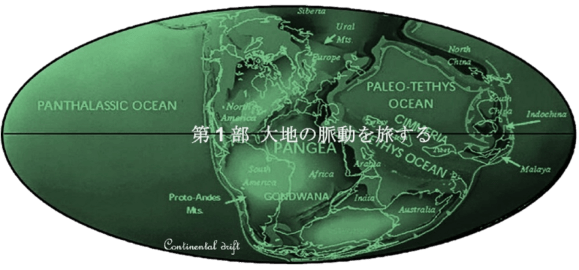
Part 1. Pulsation of Mother Earth


Nomad in Arabian Peninsula
(アラビア沙漠)
目次
Index


地理的アラビア半島地図
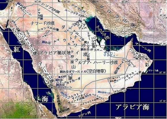
Geographic map of the Arabian Peninsula

地理的にアラビア半島とは
Geographically what is the Arabian Peninsula?
アラビア沙漠とも呼ばれるアラビア半島とはどんな場所なのでしょうか?「アラブ族の島」とも呼ばれた歴史がその概要や範囲についても述べています。このような大地ができたのには、地球規模での地殻変動に大きなかかわりがありました 。
今ではアジア大陸に含まれるこの半島は、その動物・植物相によって、かってはアフリカ大陸の一部あることが分かります。プレート移動で5千万年前頃までにアラビア半島はアフリカ大陸から分離してアジア大陸と衝突しました。そのエネルギーが造山運動となってザグロスなど一連の山脈を形成しました。一方、アフリカ大陸側では大地溝帯の一部である紅海が形成されてました。その縁での火山活動などによる盛り上がりがサラワート山脈となり、アビシニア高地などと対峙しています。
300万年前から始まった最後の地殻変動では大油田地帯の貯油構造となった波のうねりに似た褶曲が作り出されました。同じ頃、半島では大量の雨が降り、現在でも半島の主要分水嶺となっている三大河川が西から東へとアラビア湾方面に注いでいました。260万年前から始まった氷河期には乾燥が始まり、半島はサバンナ化しました。再び湿った時代となったのは氷河期も終わりに近い3万5千年から1万8千年前の間でした。
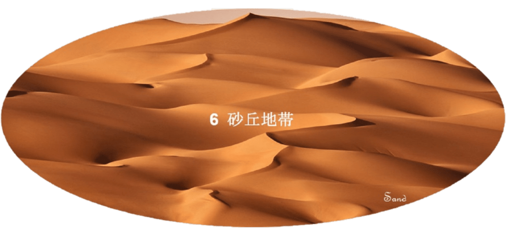
その後は再び乾燥が始まり、9千年前や4.5千年前に一時降雨は戻りましたが、乾燥は進み、風に運ばれた砂に被われた砂丘地帯がたくさん形成されました。現在の景観は半島の成り立ちを刻む火成岩系の花崗岩地帯と熔岩地帯、堆積岩系の砂岩地帯と石灰岩地帯および風成された砂丘地帯の5つの地帯に分かれています。
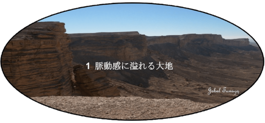
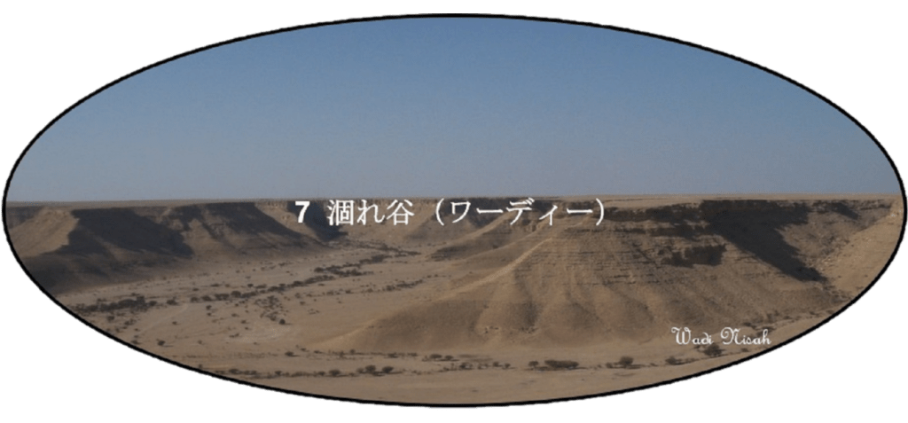
この様にアラビア半島が地学的にどのように形成されたのかを振り返ると、この半島が寂莫として動きのない沙漠では無く、実は「脈動感に溢れる大地」なのだと納得して頂けると思います。沙漠の半島の地勢的な特徴となる沙漠地帯と涸れ谷(ワーディ)についてはさらに詳しく述べてみました。
The Arabian Peninsula is not known only as the Arabian Desert in general but also as “Sifat Jazirat al Arab (the island of the Arabs)” in the history. Those names give an overview, scopes and characteristic features of the peninsula as described here. The creation of such an land is greatly related to the crustal movements on the planet scale.
The peninsula, now part of the Asian Continent, is once known to be a part of the African Continent, verified by its topography, geology, flora, fauna etc. The Arabian Peninsula had gradually separated from the African Continent by about 50 million years ago. And then it collided with the Asian Continent. It is a part of the crustal movement caused by the plate tectonics. Its energy became an orogeny and formed a series of mountains such as the Hajar, the Zagros, etc. On the other side (the African Continent side) the Red Sea, which is a part of the Great Rift Valley, was formed. The land uplift, caused by the volcanic activity at the coastal region of the Red Sea, are the Sarawat Mountains (Sarat), which confronts the Abyssinia Highlands (the Ethiopian Highlands).
The last diastrophism, which began 3 million years ago, created the folds that resembled the swells of the sea waves. Those folds became the geological structures of the oil reservoirs in the vast oil fields in the peninsula. Around the same time, the heavy rains fell on the peninsula, and the three major rivers that are still the main watersheds on the peninsula were pouring from west to east toward the Arabian Gulf. In the Ice Age, which began 2.6 million years ago, the climate began to dry, and the peninsula became a savanna with the sparsely treed grasslands. However, the wet era came back again near the end of the Ice Age between 35,000 and 18,000 years ago.
After this wet period, the drying started again. Although the temporary rainfall returned 9,000 and also 4,500 years ago, the drying progressed and the many areas covered with sand carried by the wind. The sand dune areas were formed, accordingly. The current landscape of the peninsula is divided into the five areas, the igneous granite area, the Harat (lava area), the sedimentary sandstone area, the sedimentary limestone area, and the wind-formed dune area, depending on how each was created.
Looking back on how the Arabian Peninsula was born from an earth scientific view, it can be convinced that the peninsula was actually an “an earth surface with full of the pulsation” rather than the lonely and static desert. At the last, the both topographical features of the peninsula, the sand dunes and the wadi valleys, were detailed as much as possible.
