Part 1. Pulsation of Mother Earth

Nomad in Arabian Peninsula
(アラビア沙漠)
目次
Index


地理的アラビア半島地図
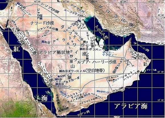
Geographic map of the Arabian Peninsula

地理的にアラビア半島とは
Geographically What Is Arabian Peninsula?
| アラビア沙漠とも呼ばれるアラビア半島とはどんな場所なのでしょうか。「アラブ族の島(Jazirat al-Arab)」とも呼ばれた歴史があり、その名称は半島の概要や範囲、特徴を表しています。このような大地が形成された背景には、地球規模での地殻変動が大きく関わっています。 | Arabian Peninsula (شبه الجزيرة العربية), often referred to simply as Arabian Desert, has also been described in history as “Jazirat al-Arab (جزيرة العرب, Island of Arabs).” These names provide an overview of peninsula, its extent, and its distinctive characteristics. Formation of such a landmass is closely related to crustal movements on a planetary scale. |
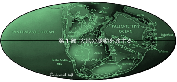
| 現在ではアジア大陸の一部であるこの半島は、その地形や地質、動植物相から、かつてアフリカ大陸の一部であったことが分かります。アラビア半島は約5,000万年前までにアフリカ大陸から徐々に分離し、その後アジア大陸と衝突しました。これはプレートテクトニクスによる地殻変動の一環でした。そのエネルギーは造山運動となり、ハジャル山脈やザグロス山脈などの連なりを形成しました。一方、アフリカ大陸側では大地溝帯の一部をなす紅海が形成されました。その縁辺部での火山活動による隆起はサラワート山脈を生み出し、アビシニア高地(エチオピア高地)と対峙しています。 | Peninsula, now part of Asian continent, was once part of African continent, as evidenced by its topography, geology, flora, and fauna. Arabian Peninsula gradually separated from African continent by about 50 million years ago and subsequently collided with Asian continent. This was part of crustal movements caused by plate tectonics. Resulting energy produced mountain-building processes that formed a series of mountain ranges, including Hajar Mountains (جبال الحجر) and Zagros Mountains (جبال زاغروس). On African side, Red Sea (البحر الأحمر), part of Great Rift Valley (الأخدود الإفريقي العظيم) system, was formed. Uplift caused by volcanic activity along its margins formed Sarawat Mountains (جبال السروات), facing Abyssinian Highlands (الهضبة الحبشية), also known as Ethiopian Highlands (الهضبة الإثيوبية). |
| 300万年前頃から始まった最後の大規模な地殻変動では、海のうねりに似た褶曲構造が形成されました。これらの褶曲は半島の巨大油田地帯における貯油構造となりました。同じ頃、大量の降雨があり、現在でも半島の主要な分水嶺を形づくる三大河川が、西から東へとアラビア湾に向かって流れていました。約260万年前に始まった氷河期には乾燥化が進み、半島はサバンナとなりました。その後、氷河期末期の3万5千年前から1万8千年前にかけて、再び湿潤な時代が訪れました。 | Last major phase of diastrophism, which began about 3 million years ago, created folds resembling swells of sea waves. Those folds became geological structures that formed oil reservoirs in vast oil fields across peninsula. Around same time, heavy rainfall occurred, and three major rivers, which still define principal watersheds of peninsula, flowed from west to east toward Arabian Gulf (الخليج العربي). During Ice Age, which began about 2.6 million years ago, climate became increasingly dry, and peninsula developed into a savanna. Wetter period returned near end of Ice Age, between 35,000 and 18,000 years ago. |
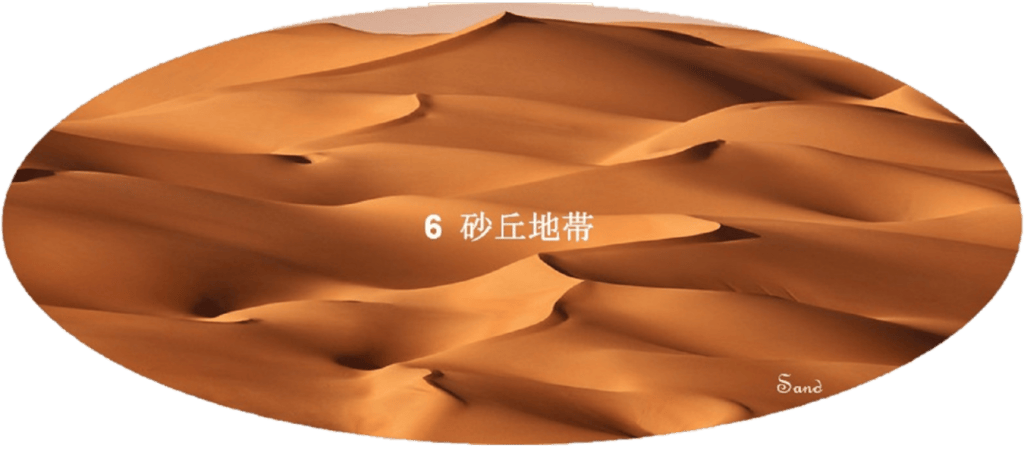
| その後は再び乾燥化が進みました。約9,000年前と4,500年前には一時的に降雨が戻りましたが、乾燥化は継続し、風に運ばれた砂によって広大な砂丘地帯が形成されました。現在の半島の景観は、その成り立ちに応じて、火成岩系の花崗岩地帯、ハラート(熔岩地帯)、堆積岩系の砂岩地帯、堆積岩系の石灰岩地帯、そして風成の砂丘地帯の五つに大別されます。 | After this wet period, drying resumed. Although rainfall temporarily returned around 9,000 and 4,500 years ago, arid conditions continued to intensify. Vast areas became covered with wind-blown sand, resulting in formation of extensive dune fields. Present landscape of peninsula can be divided into five major regions according to their origin: igneous granite areas, Harat (حرات) lava fields, sedimentary sandstone areas, sedimentary limestone areas, and wind-formed dune areas. |
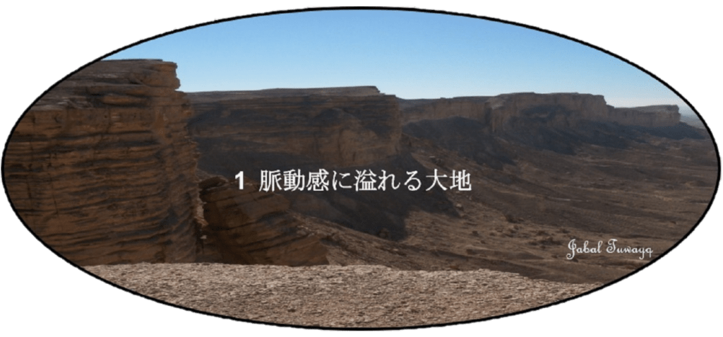
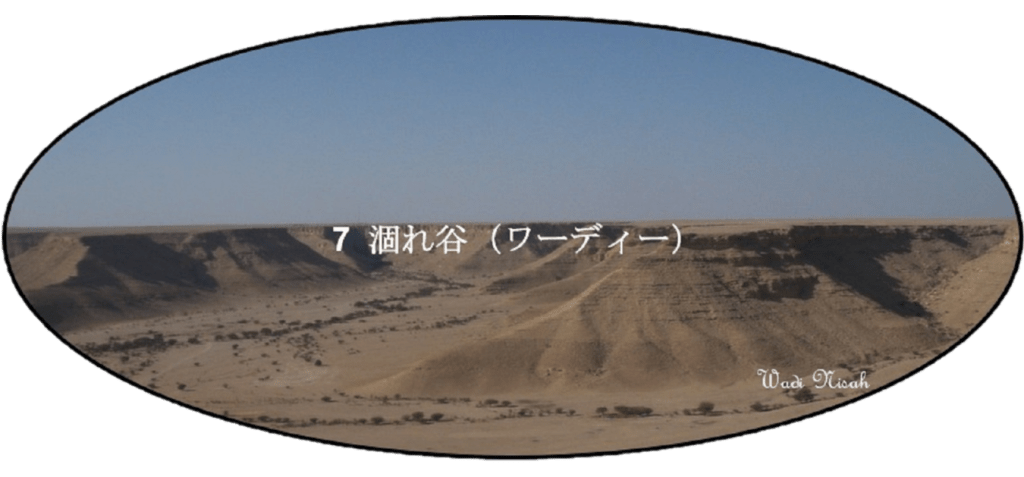
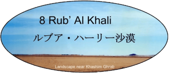
| このようにアラビア半島が地学的にどのように形成されたのかを振り返ると、この半島は単なる寂莫として動きのない沙漠ではなく、実は「脈動感に溢れる大地」であることが理解できると思います。さらに、半島を特徴づける地形である沙漠地帯と涸れ谷(وادي)についても、次章で詳しく述べています。 | Looking back on how Arabian Peninsula was formed from geological perspective, it becomes clear that this peninsula is not merely a lonely and motionless desert but rather a land full of vitality and pulsation. Desert regions and wadi valleys (أودية), two of peninsula’s most characteristic topographical features, are discussed in greater detail in following sections. |